Weekly Recap
Air quality is much improved now that we've made it to Friday. Smoke began to clear on Sunday as westerly winds started pushing the smoke out of western Washington.

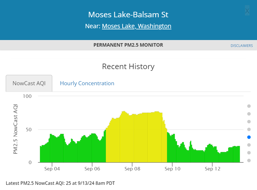
Air quality remained Moderate to Unhealthy for Sensitive Groups for portions of central and eastern Washington on Monday, but started to turn Good by the end of the day.
After seeing some of the worst air quality in the state over the weekend, conditions did improve in southeast Washington. Due to proximity to fires in Idaho and eastern Oregon, however, Clarkston once again saw air quality regress to Unhealthy for Sensitive Groups on Wednesday.


Even for those that saw little or no rain at all are finishing the week with Good air quality and much cooler temperatures than this time last week. Higher relative humidity is also keeping fire activity low in Washington, Oregon, and Idaho.
Smoke Outlook
Air quality will remain Good for the foreseeable future with Moderate air quality only near local sources of pollution. Wildfire smoke is not expected to be an issue in the short term with onshore flow and scattered showers continuing through Sunday morning.
Sunday afternoon, low level flow turns northerly and will persist through Monday. Dry conditions and temperatures near seasonal averages are expected.
A low pressure system tracking through southern Idaho may bring wraparound moisture to portions of eastern Washington early Tuesday. By Tuesday afternoon, a new system will develop off the coast bringing scattered showers mainly to western Washington.
East of the Cascades, breezy to gusty winds (25-40 MPH) are expected Tuesday afternoon. This will be the primary concern for elevated fire weather conditions next week along the east slopes and across the Columbia Basin.
Dry and warmer weather is likely to return sometime late next week or next weekend, but extreme heat seems unlikely for now.
No comments:
Post a Comment
We monitor this site during business hours, Monday through Friday, 8AM to 5PM. We encourage your questions, comments, and feedback. We ask that everyone be respectful of the opinions of others, and avoid comments that are defamatory, inappropriate or off-topic. If you have an emergency, please call 911.
We moderate all comments to prevent spam. Your comment will publish upon review