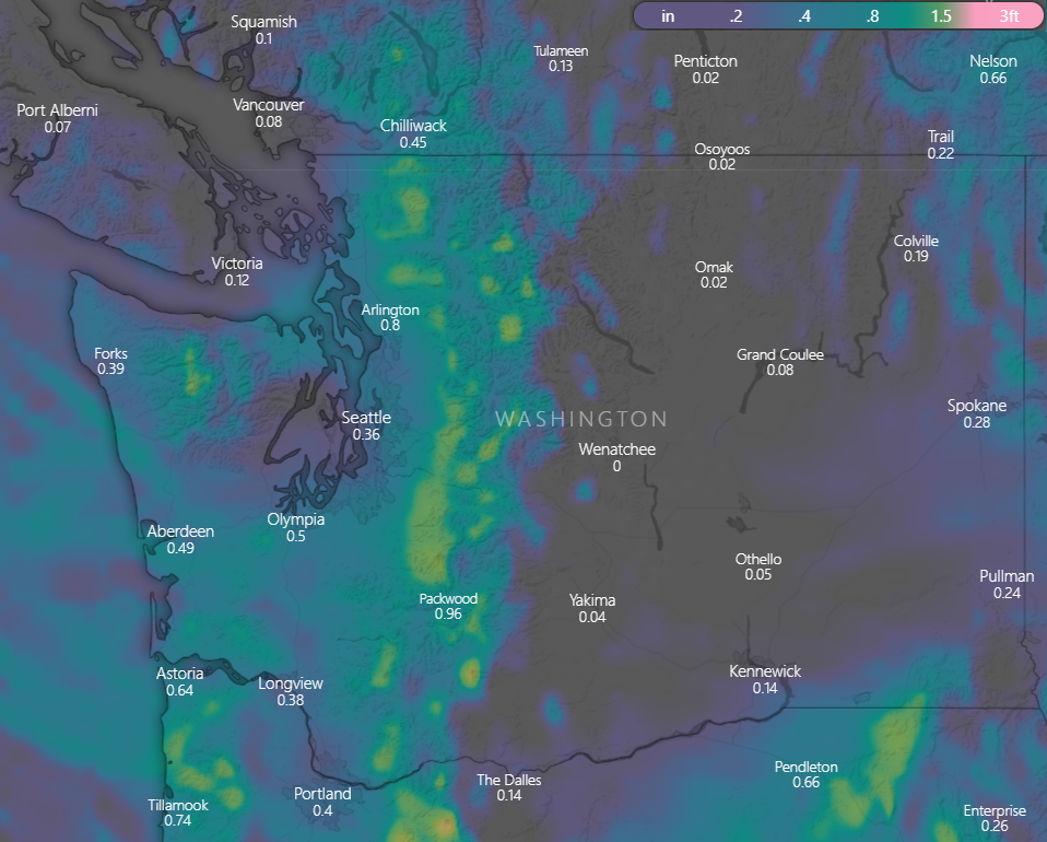
There seems to be some disbelief that the wildfire season could be coming to an end this year. PM2.5 monitors are still showing unhealthy conditions in many areas of the state. Fortunately, the weather models continue to show fall weather on its way with significant precipitation lasting several days. If you look at the precipitation accumulation expected over the next 24 hours, there's really nothing to speak of. But check out the expected totals over the next 60 hours:
Precipitation accumulation for Thursday thru Saturday afternoon. NAM model, courtesy of windy.com
It's going to be tough for any wildfires to stay active much longer with all the cool/moist air on its way. Some of that precipitation will be snow in the mountains! Here is the latest update from the NWS:
"Big weather changes are expected Friday for the Inland Northwest, with a strong cold front bringing colder temperatures, snow, and breezy winds. Mountainous regions will see the first snowflakes of the season. Snow levels will fall between 4000 and 5000 feet Saturday and 2500-3500 feet Sunday. Additionally, the significant cooldown will result in freezing temperatures. Now is the time to prepare for more typical late-October conditions."
On Sunday, you will likely notice a lack of precipitation, and maybe think there wasn't enough to douse the fires. However, there is precipitation forecasted in the Cascade mountains (and Western WA) nearly every day of next week!
All Air Quality Alerts currently in place are set to expire today or tomorrow, note there are new updates below:
Western Washington:
Clallam, Mason, Thurston, Clark, Cowlitz, Lewis, Skamania, Wahkiakum, Island, Jefferson, King, Kitsap, Pierce, Skagit, Snohomish, and Whatcom counties (update, AQA now ends 10 am on Friday)
San Juan county (AQA still ends midnight tonight)
Central Washington:
Chelan, Douglas, Kittitas (new, due to local Rx burning), and Okanogan counties (AQA ends midnight on Friday)
Eastern Washington
Spokane, Stevens, and Pend Oreille counties (AQA ends midnight tonight)
Hi, I'm wondering why the forecasts have all been so different depending on where you look. Even today, if you read Komo's weather page, they state we should see improvement in the lowlands starting tonight at dinner time, but their front page states we won't see any improvement until tomorrow. And all week, every site was either stating we'd see some clearing on Weds or that it might be "unhealthy for sensitive groups" on Thursday, but none predicted we be dealing with "very unhealthy for all groups" smoke. Every site was stating the smoke would mostly just be bad for the areas closest to the fires. Cliff Mass's page has a plausible sounding explanation today as to why downtown has been hit with so much smoke, but it sounds like that's something the forecasters would have known in advance and would have been able to predict, and even his own page was saying we'd be through with the smoke on Wednesday. It's extremely frustrating for those of us with health conditions to not know how to plan for these events that have been consistently being downplayed by all forecasters. I read every site linked on these pages each year, and I've come to learn that the smoke is always worse and always lasts longer than predicted.
ReplyDeletePerhaps this previous reply will help explain why smoke models have large uncertainty: https://wasmoke.blogspot.com/2022/10/we-love-summer-and-all-but-how-about.html?showComment=1665598313780#c7812396942526972312
DeleteThis article in Geek Wire from 2 years ago explains pretty well why smoke forecasting is much more difficult than weather forecasting https://www.geekwire.com/2020/weather-expert-makes-smoke-forecasts-hard-predict-technology-help/
Deletei try look at HRRR near surface smoke models but they often miss too
DeleteAny idea when air quality will improve in Seattle? I love that the rain is coming but I’m wondering when this will actually start clearing?
ReplyDeleteThe Puget Sound has started clearing out today, which will continue, and currently we expect tomorrow's air quality to be good in Seattle. You can see the forecast on the map on this site, or go directly to Puget Sound Clean Air Agency website: pscleanair.gov
DeleteIt’s 3:48 p.m. in Sequim and IT’S RAINING!!! Hang in there, people east of the Olympics: it’s coming.
ReplyDeleteJust curious, why is the Whatcom area expected to USG on Monday?
ReplyDeleteThanks for all the updates, even though I'm across the border I rely on your info daily in smoke season.
It's not, I'll try to explain. NWCAA is submitting 4 day forecasts to AirNOW, so day 5 is coming from the automated forecast. However, when I checked the automated forecast this morning it was fine (so I made no manual update), but since there was no manual update, the automatic bias correction kicked in later today and posted to the web. This is a big pet peeve of mine about the merging of the machine learning "bias correction" with the smoke model, because it requires a lot of babysitting... at 8 am, 10 am, and noon, the forecast can change without notice. Rest assured, this "feature" is something we plan to remove before next year's smoke season.
DeleteAh, I understand fully. I work in a medical field where we are just starting to venture into machine learning and it's definitely challenging. Thanks for the excellent explanation.
Delete