Welcome to the Washington Smoke Blog and to wildfire
season 2025! This post will cover the ongoing Canadian fires, a seasonal outlook, and a preview of "smoke-ready week" next week (June 9-13).
Canadian Smoke
Fires (shown
as orange dots/thermal anomalies), clouds, and smoke across Canada and the
Northern U.S. on June 6, 2025. Data from NASA
Worldview.
Canada is
off to a fast and furious start to their fire season, particularly in the central
provinces of Alberta, Manitoba, and Saskatchewan. Activity in far northern
British Columbia is also picking up. Smoke from these Canadian fires has been
drifting into portions of the central and eastern U.S. at times over the last
few weeks, deteriorating air quality and making
news headlines. While the size and severity of these fires is above normal,
the timing is typical for that region. In most years, some fires typically establish across
the boreal forests of central and eastern Canada in late Spring and early
Summer (May-June). This is the period after snow melts but before the
vegetation ‘greens up’ in the early summer months. Smoke from Canadian fires
thus far has remained east of Washington state and our air quality remains good.
This is typical - Washington generally does not experience ground-level smoke
impacts from fires that occur east of the Rocky Mountains.
We CAN experience smoke
from Canada when fires establish closer to home in the mountains across southern
British Columbia, but the timing of that would be more in line with our typical peak of fire season (July to September). Activity in that area is minimal right now
but we’ll be monitoring closely for new activity as we head deeper into summer.
A Dry Spring
A key trend in Washington heading into fire season is our lack of
late spring precipitation. This has been true across most of the state but is particularly
notable across the dry forest environments along the eastern slopes of the
Cascades and Blue Mountains. On average these are some of our most active regions
for wildfire and this year they are heading into fire season having
gone without significant rainfall for months.
Precipitation anomaly (% of normal) over
the last 60 days - from April 6 to June 4, 2025. Much of the Pacific Northwest
has seen precipitation amounts only 25-75% of the 1991-2020 normal. Data via
climatetoolbox.org.

Here is another way to look at recent
precipitation trends, using percentiles. Areas in dark brown have seen their
lowest precipitation amounts in the April 6 to June 4 period since the dataset
began in 1979! Data via climatetoolbox.org.
In spring
and early summer, vegetation typically goes through a period of growth and then
subsequent curing and drying. Without much recent precipitation,
the curing and drying process is already well underway across the lower-middle
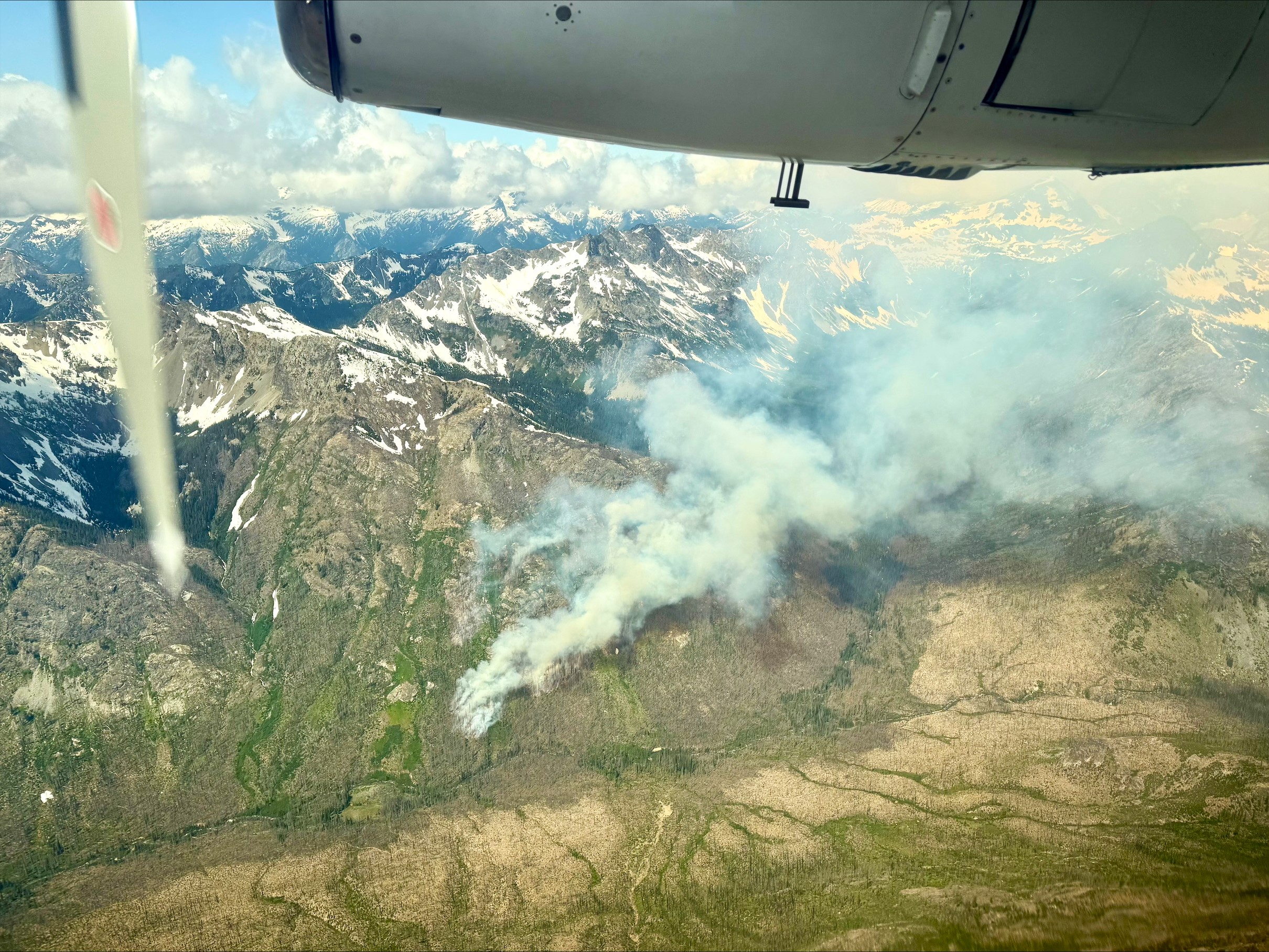
elevations of central and eastern Washington. Grasses and shrubs are ready to burn in many areas. In fact,
recent weeks have already featured a handful of early season fires in lower elevations of eastern Washington and Oregon. As heat builds further into the weekend, conditions are rapidly becoming
favorable for additional fire activity in those areas – especially when combined with incoming strong winds Monday through Wednesday next week.

Cooler temperatures and lighter winds should arrive by the end of next week to ease concerns for significant fire growth. Additionally, even with the lower than normal precipitation trends, the higher elevations and
much of western Washington are still limited in their fire growth potential by live, green vegetation. That will change as we head
later into the summer and things dry out further.
Forecast Summer Conditions & Lightning Ignition
Potential
After the
initial period of potentially critical fire weather early next week across central and eastern
Washington, what will the rest of summer look like?
The NOAA Climate
Prediction Center has much of the U.S. West favored for above normal
temperatures this summer, including the Pacific Northwest. Hot temperatures
combined with low relative humidity can rapidly pull moisture out of vegetation,
increasing the potential for that vegetation to burn. There are certainly other
factors - wind, vegetation type, short-term weather patterns, topography, and fire
suppression capability, to name a few. And of course, we still need ignitions
to have fire. But unusually warm summer temperatures will generally stack
the odds in favor of larger and more difficult to manage fires. For example, July
2024 was extremely hot across the region and played a major role in readying the
vegetation across Oregon for what ended up being a record fire season in their
state.

We can also look
at the seasonal precipitation outlook which is suggesting below average rainfall
across the Pacific Northwest for the rest of the summer. Keep in mind that
summers are typically dry in our region to begin with, so the precipitation outlook is a minor factor relative to the temperature outlook.
One of the main uncertainties for this season is how the southwest monsoon will evolve. On occasion, moisture from the
southwest monsoon can work its way northwards, creating enough moisture
and instability in the upper part of the atmosphere to trigger thunderstorms -
but not enough actual rainfall reaching the ground to provide benefit. These dry
lightning episodes can ignite many new fires all at once across the landscape,
often in difficult places for firefighters to access. At this point we don’t
have good insight into the potential for dry lightning over the summer. But it’s
something we are watching closely and could rapidly change the outcome of the
season, especially given the background warmth and dryness that's expected.

Putting it Together: Significant Wildland Fire Potential
With the dry
spring and likely warm summer, the odds favor above normal fire activity across
the entirety of the Pacific Northwest. This is reflected in the official forecasts
produced by the National Interagency Fire Center. These forecasts paint the
picture for above normal large fire activity starting in June across eastern
Washington and Oregon before expanding across the rest of the Pacific Northwest in July and August – potentially even continuing through September.


Many Smoke Unknowns - And The Importance of Readiness
Though a very active fire season is likely, it's never a guarantee. Additionally, even if we
have large fires on the landscape there is an entire other set of questions we need to analyze
about smoke:
- Are
fires becoming established in forests or lighter fuels such as grass and shrubland? It's the forest fires that create much more
smoke and for longer periods of time.
- How far away are fires around the region to Washington communities?
- Where
is the wind blowing the smoke? Towards or away from where people live?
- Is
the smoke located at ground level, where people breathe, or simply moving
overhead higher up in the atmosphere?
The smoke
blog exists in part to help you answer these questions throughout the season and stay
up to date on the latest information.
While the local air quality is still good, now is a great time to prepare yourself for smoke! In fact, next week (June
9-13) is officially "smoke-ready week", and we’ll be kicking it off with additional
blog posts starting on Monday! Stay tuned ...

.jpg)


